EN


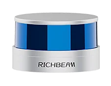
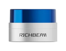
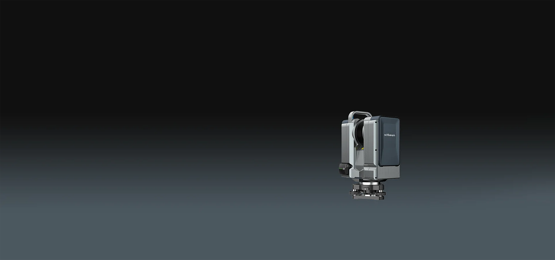
BeamMaster X
Long-Range laser 3D scanning
500m
Maximum Range
300000pts/s
Scanning Speed
1.5mm
Accuracy
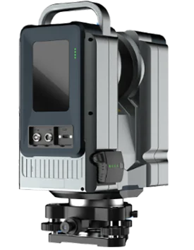
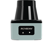
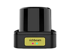
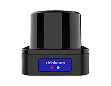
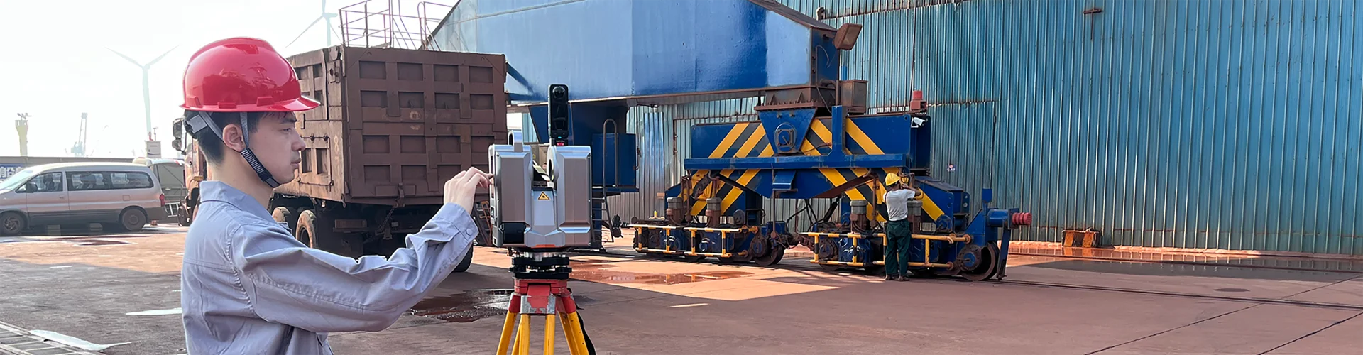
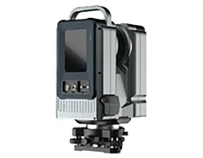
Product Introduction
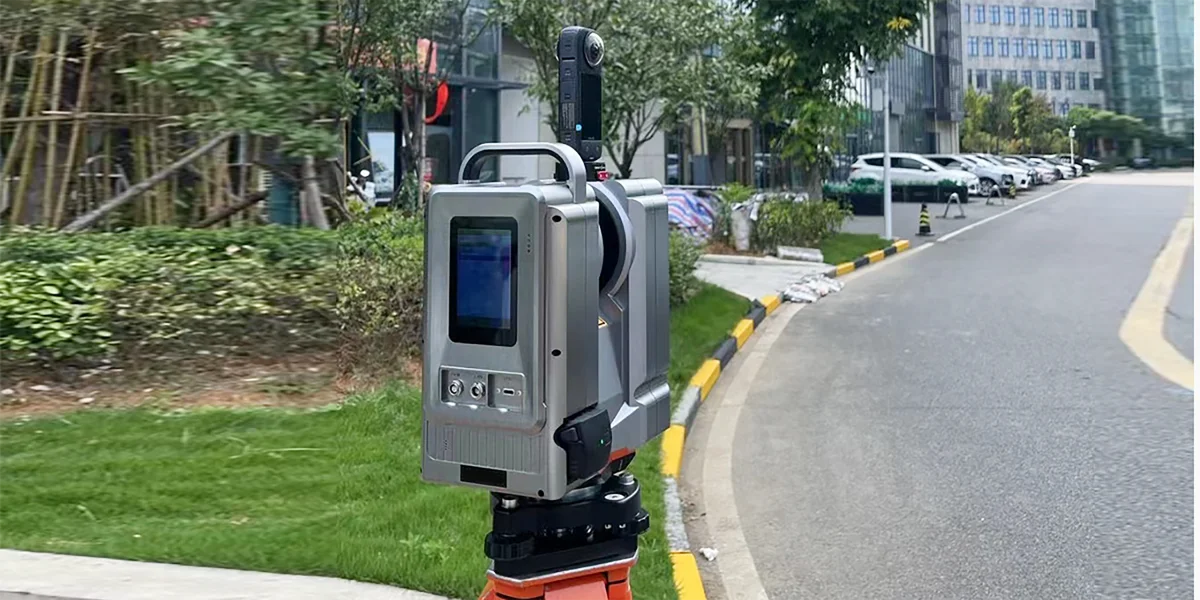
BeamMaster X is a tripod-mounted 3D laser scanner, perfect for quick and accurate scanning of objects and environments. BeamMaster X’s first target-based scanner captures ultra-accurate 3D data with high repeatability, making it indispensable for industrial, engineering, and design applications. The scanner features a pinpoint accuracy of up to 1.5 mm.Its blazing scanning speed allows users to capture up to 300000pts measurements per second, ensuring rapid and efficient data collection.
Reverse engineeringQuality inspectionLidar scanner buildingArchitectural designMine tunnel measurementIndustrial facility maintenance & retrofittingVolume Measurement
 1.5mm accuracy
 500m maximum range
 Portable power supply
 Class 1 eye safety
High accuracy & rapid data capture
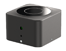
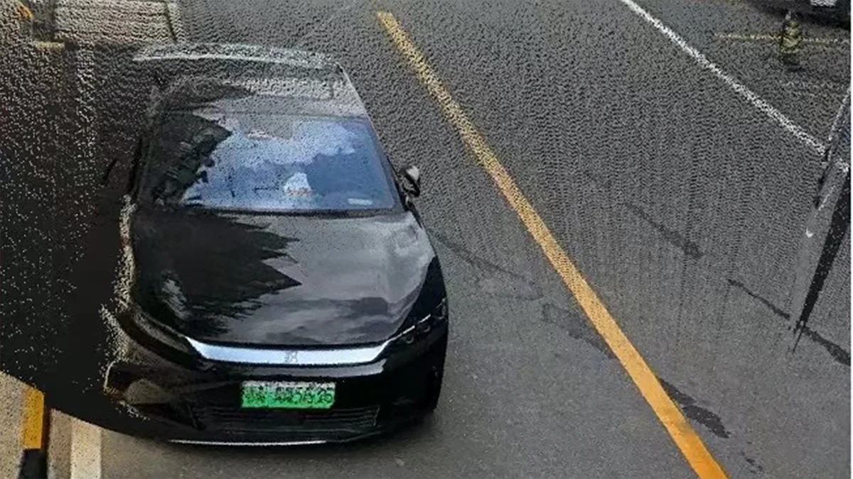
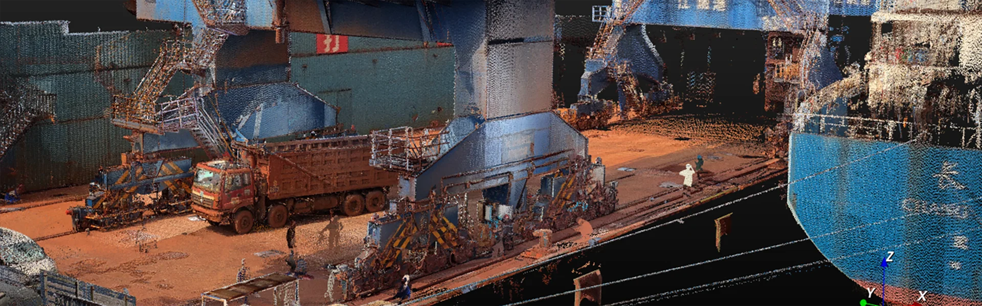
Integrated with a 360° panoramic camera, the BeamMaster X outputs true-color point cloud data, achieving "human-eye-level" 3D scanning realism.
Millimeter-Level Precision
A high-precision rotating platform paired with an advanced laser head ensures ±1.5mm accuracy, redefining industry benchmarks.
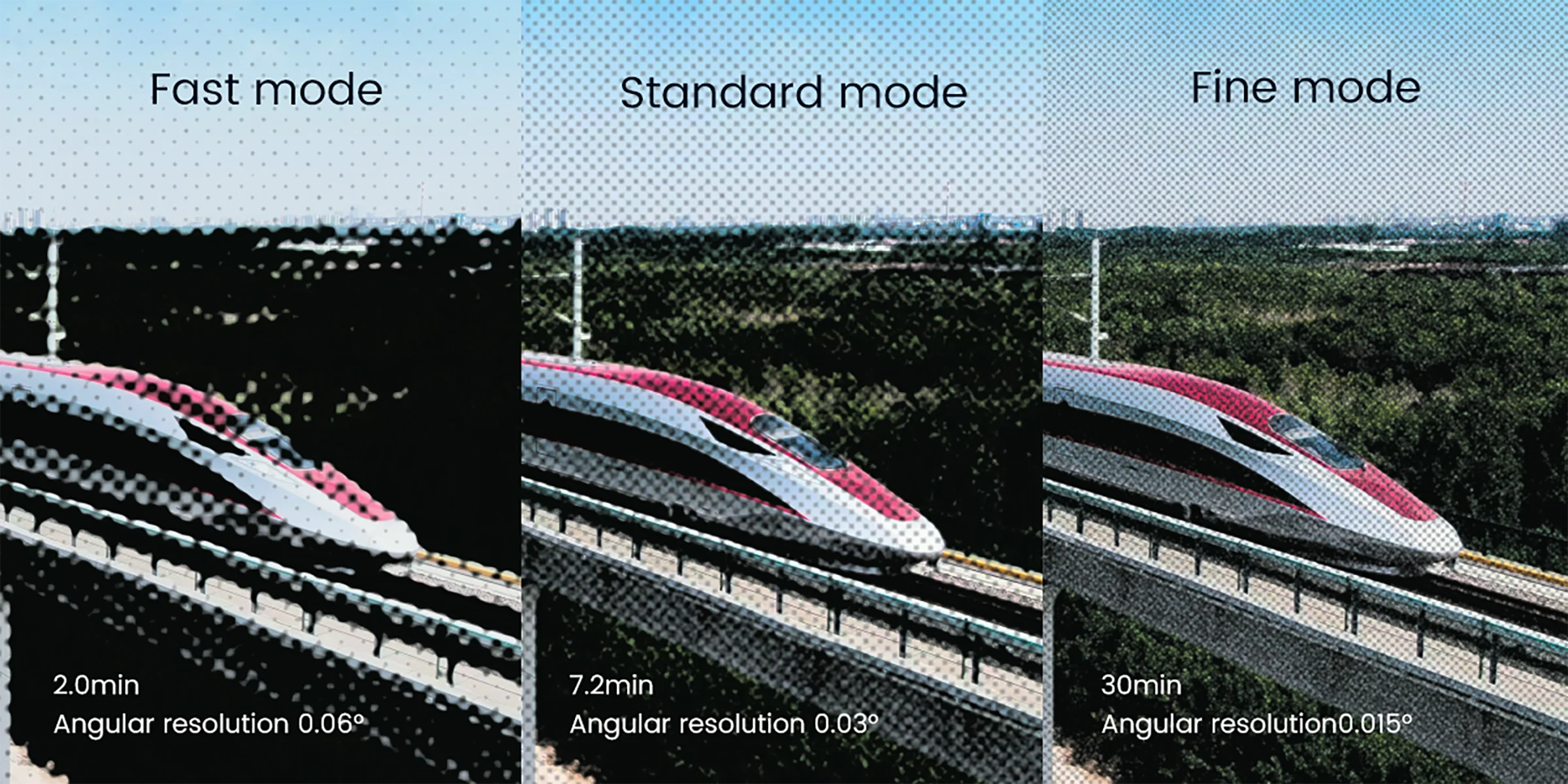
Versatile Scanning Modes
Switch between Fast, Standard, and Fine modes to optimize scanning speed and detail for any scenario.
Easy to Use
Built-in WiFi Hotspot enables remote control of the scanner from any WiFi-enabled device, such as smartphones, tablets, or laptops.
Convenient Operation
Equipped with a high-speed USB port, it enables direct download of point cloud data to external USB storage devices.The device also includes a 3.5-inch full-color LCD touchscreen for intuitive control and operation.
Software Integration
SI-Scan (Windows-based) integrates large-scale data management, intelligent editing, 3D modeling, and advanced rendering. It enables rapid 3D scene reconstruction, virtual reality simulations, and real-time visualization.

Application scenarios
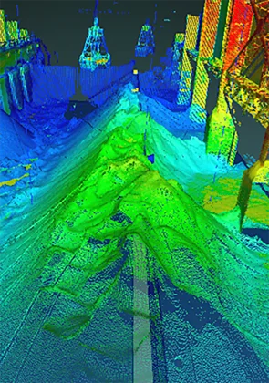
Volume calculation

Cadastral surveying
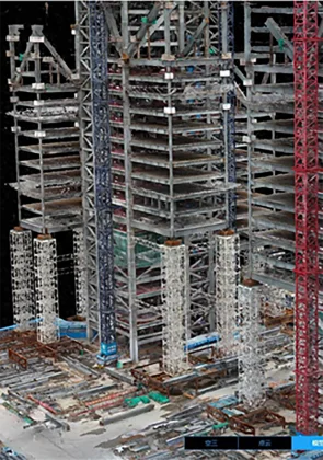
Lidar construction
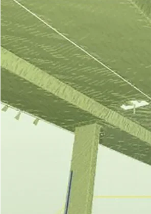
Deformation monitoring
Core Specifications
Detection Range 0.5–500m
Beam Divergence 0.4 mrad
Operating Modes Fast / Standard / Fine
Ranging 500m (80% reflectivity), 150m (20% reflectivity)
Laser Class Class 1 Safe
GNSS Supports external GNSS receiver
Accuracy ±1.5mm
Wavelength 1550nm
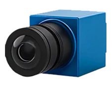
Colored Point Cloud Compatible with Insta360 X4
Repeatability ±1mm
Scanning Speed 300k points/sec
WiFi 802.11b/g/n
Angular Resolution 0.015°
Compensator Accuracy 0.005°, compensation range ±15°
Battery Built-in battery (2.5 h)
Scanning Field of View 360° (h) × 300° (v)
Data Storage 512GB SSD (550MB/s)
Average Power Consumption 40W
Display 3.5" touch LCD
Protection Rating IP54 (Aluminum alloy housing)
Operating Temp -20°C to 50°C
Storage Temp -40°C to 60°C
Dimensions (L×W×H) 220mm × 109mm × 295mm
Weight 4.26kg

Explore LiDAR
applications now
Explore LiDARapplications now

 Address:Room 602, Building A, Xingdi Center, No. B10, Jiuxianqiao North Road, Chaoyang District, Beijing
 Website:www.richbeam.com/en
 Phone:008615652920616

Copyright © 2016-2024 RichBeam. All Rights Reserved.