
 Address:Room 602, Building A, Xingdi Center, No. B10, Jiuxianqiao North Road, Chaoyang District, Beijing
EN


Accelerate development of surveying technology with the sensor technology innovation
As a sensor capable of acquiring the position and shape of objects, LiDAR is suitable for surveying, and its efficient, high accurate and comprehensive data support can significantly improve the efficiency and quality of surveying work. With more than 20 years of deep devotion to laser photoelectricity and spaceborne LiDAR, Richbeam has accumulated rich scientific research experience in aerospace and military sensor design, R&D and manufacturing, and has taken self-research capability as the core to help the surveying technology to flourish.
Interior and Exterior Project Drawing/Mapping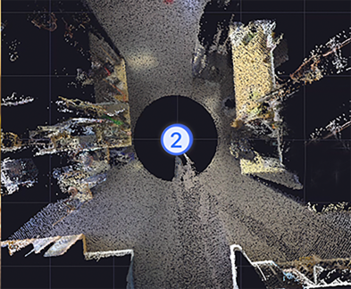
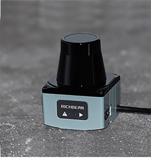
Lidar Mapping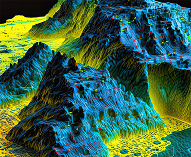
3D Terrain Modeling
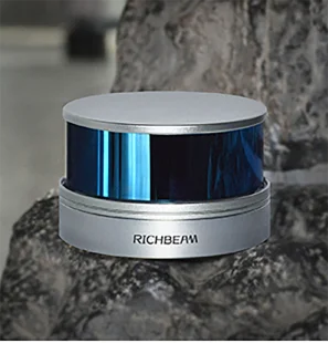
 Compact and Lightweight
Through the innovative R&D, Richbeam integrates the LiDAR chip-based technology with the platform design, and with the superior industrial structure integration to realize the revolutionary breakthrough of compact and lightweight products.
 High Reliability
Richbeam's LiDAR has passed strict vibration, shock and other reliability tests, ensuring reliable detection in tough weather and complex conditions.
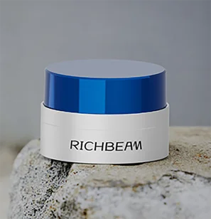
 High-Quality and Cost-Efficient
For the same price, Richbeam's LiDAR has stronger hardware capability, with excellent performance in terms of accuracy, point rate and detection range.
 Large Customization Available
LiDAR's laser beam number and scan FOV can be mass customized to provide products that are more suitable for application scenarios.
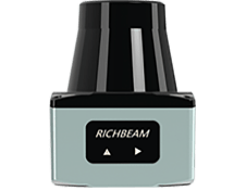
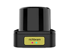
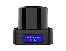
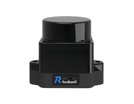
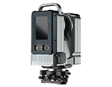
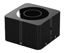
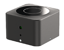
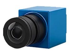
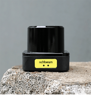
Products for Robotics

Explore LiDAR
applications now
Explore LiDARapplications now
Address:Room 602, Building A, Xingdi Center, No. B10, Jiuxianqiao North Road, Chaoyang District, Beijing Website:www.richbeam.com/en
 Phone:008615652920616

Copyright © 2016-2024 RichBeam. All Rights Reserved.